
|
 |
|
|
|
 |
| Pinawa
in Bloom |
 |
| Communities
in Bloom |
|
|
There is a lot of work
to be done in the development of our little park. The
site is now just a triangular grassed area at the centre
of town. It is bound by streets on two sides and a
parking lot on the third.
The illustration below shows the layout of the
site. The parking lot and street boundaries are
shown in yellow. the blue line represent the edge of an old road bed
that used to exist here. The lot slopes from the old road bed down to
the cyan line where it levels. The edge of the ditch is shown in green
and its centre line is red.
The length of the site
along the parking lot is about 66 metres. The length on the other side
shown as the blue line is about 33 metres. The width at its widest
point, from the parking lot to Vanier Ave. is about 33 metres.
 |
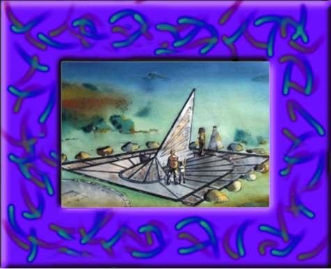
This photo shows the site from the parking lot
stop sign located at Vanier Ave. The far two lamp standards
have been removed. The pile of clay is the start of a viewing
hill that will be elevated above the sundial base. This will
give visitors a view of the sundial from a point higher than
the base itself. |
|